RESEARCH

Photo Credit: Erik Jepsen/UC San Diego Publications

CURRENT PROJECTS

Image

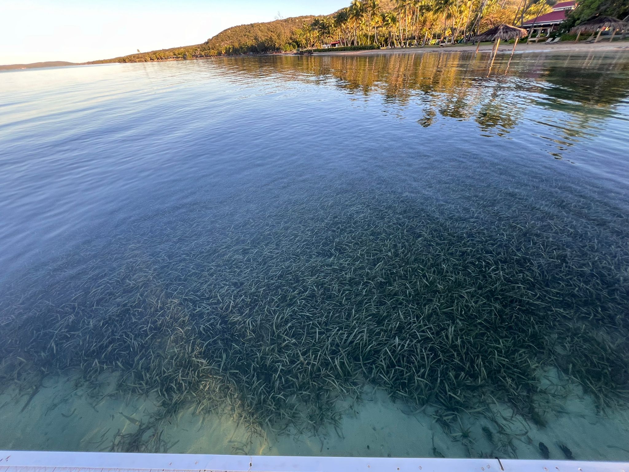
Under the Seagrass: Conserving Delicate Habitats and Underwater Cultural Heritage
Under the Seagrass was developed as part of a capstone project by Dafna Bimstein for the MAS Marine Biodiversity and Conservation program at the Scripps Institution of Oceanography and the Scripps Center for Marine Archaeology. As climate change progresses, marine habitats proven to be impactful in the fight against greenhouse gasses, coastal erosion, and biodiversity loss are threatened. One of these marine ecoengineers are seagrass beds, which are often found in locations of interest to marine archaeologists and historians due to the Underwater Cultural Heritage underneath their sediments. In order to study historical sites, which may provide information applicable to future climate change, researchers may need to remove, cut, or damage the seagrass. This can cause conflicts between marine archaeologists and ecologists. This project works to mend and bridge the two fields through collaboration. This project identifies ways to successfully study underwater cultural heritage sites, while mitigating long term seagrass loss.
Learn More
Image

Rising Voices, Changing Coastlines (Puerto Rico)

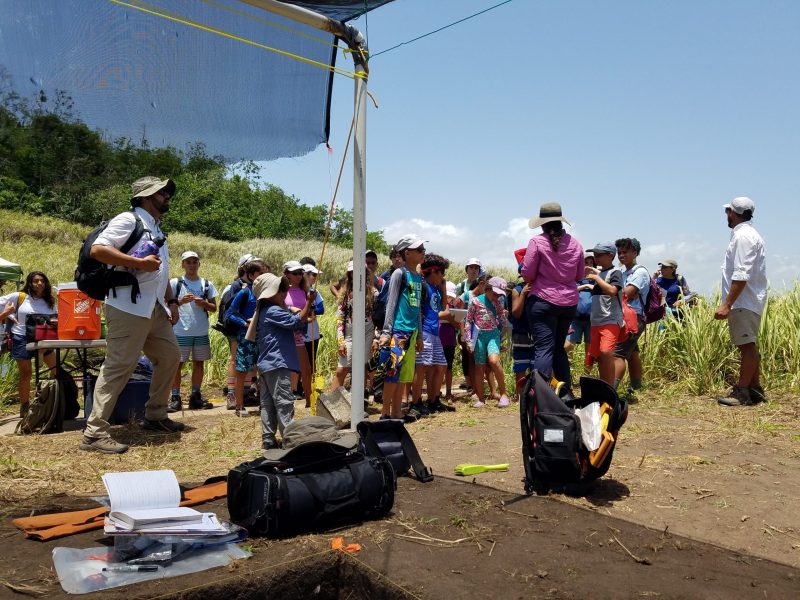
The Rising Voices, Changing Coasts Hub spans Alaska, Louisiana, Hawai’i, and Puerto Rico. Rising Voices is an ongoing national partnership between earth scientists and Indigenous people to encompass the latter’s perspective in scientific research. Project activities will include training opportunities for Native students at each participating institution. Through the Rising Voices initiative, Rivera-Collazo will explore social justice and ecosystem restoration issues that sea-level rise and climate change have imposed upon Native residents and Indigenous communities. The project will mesh elements of multiple sciences along with traditional ways of being and traditional knowledge.
Learn More
Image

Descendants United for Nature, Adaptation, and Sustainability (DUNAS)

In collaboration with Dr. Isabel Rivera-Collazo, Climate Science Alliance, Para la Naturaleza, and Wildlife Conservation Society, the DUNAS project was convened to restore coastal dunes in northern Puerto Rico that were severely degraded by Hurricane Maria. Although sand dunes are vulnerable to damage, they are critical for protecting ecological environments, cultural artifacts, and human communities. DUNAS provides a unique community-based model for how to bridge social and environmental resilience through climate adaptation strategies and solutions.​​​ By weaving together cultural, ecological, and community values we lay the groundwork for a resilient future.
Learn More
Image

Hoyo Negro Project

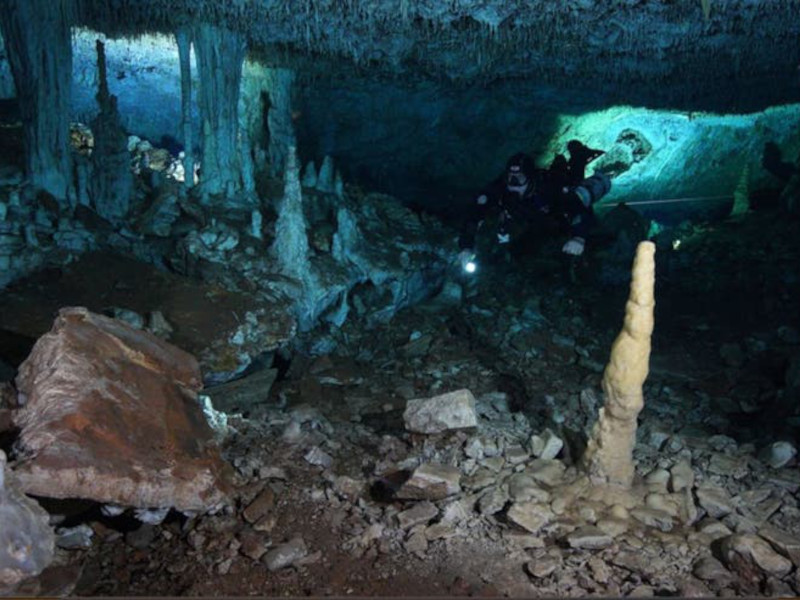
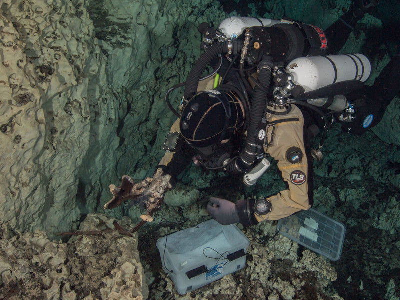
The cenotes and underwater cave systems of the Yucatan Peninsula are emerging as one of the most promising frontiers for Paleoamerican studies. Following the end of the last glacial maximum, rising sea levels flooded the region’s maze of underground passageways and preserved a diverse Late Pleistocene fossil assemblage. A female human skeleton, named "Naia," found in spatial association with the remains of now-extinct fauna in the submerged subterranean pit of Hoyo Negro presents a unique opportunity for interdisciplinary Paleoamerican and paleoenvironmental research in Quintana Roo, Mexico. At 13,000-12,000 years BP, the young woman’s skeleton represents the oldest nearly complete individual yet found in the Americas.
Learn More
Image

Proyecto La Mina/Sagitario

In 2017, underwater cave explorers Fred Devos, Christophe Le Maillot, and Sam Meacham of CINDAQ found evidence of ancient mining activity while exploring and mapping new tunnels of an underwater cave near Akumal, Quintana Roo, Mexico. The Maya are known to have actively mined pigment and other minerals from the caves of the Yucatan Peninsula, but the ancient mines discovered by the CINDAQ team are now submerged, indicating that such mineral exploitation occurred thousands of years ago. At the end of the last Ice Age, intrepid miners ventured deep into these tunnels with torches in hand. The navigational markers, mining debris, fire pits and excavation pits they left behind are now entirely underwater.
Learn More
Image

Proyecto Costa Escondida

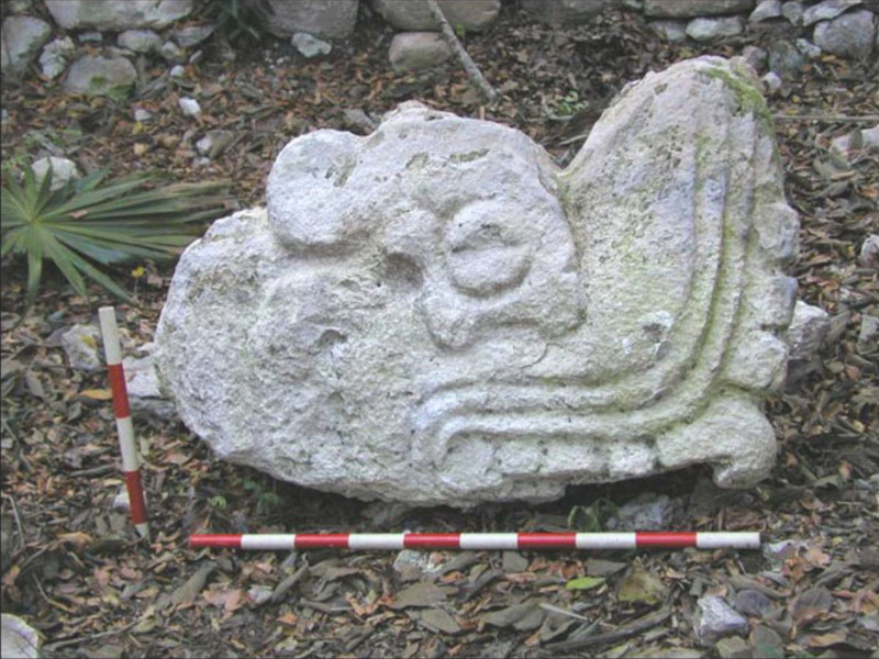
Access to potable water has always been a major concern for human settlement, and this is particularly acute in coastal areas where freshwater can be compromised by saline marine waters. The northeast portion of Mexico's Yucatan Peninsula has a massive freshwater aquifer that today supports the international tourist destinations of Cancun and the Riviera Maya. However, access to this aquifer in pre-Columbian times was restricted to natural features, such as cenotes (limestone sinkholes), aguadas (freshwater ponds), and coastal springs, or cultural features like wells, the viability of which is directly linked to sea level, which has risen over 2 m in the past 3000 years. In addition, ancient Maya inhabitants of the Yucatan collected rainwater in reservoirs, smaller-scale cisterns called chultunes, or in ceramic pots. At the coastal site of Vista Alegre, located on the north coast of the Peninsula, there is limited evidence of potable water collection strategies, which has led members of the Proyecto Costa Escon-dida to critically examine how the freshwater access at the site changed over the past three millennia.
Learn More
Image

The Bermuda 100 Project

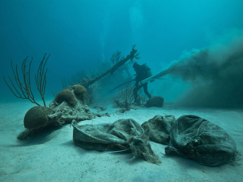
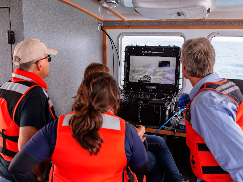
UC San Diego faculty, researchers and students are collaborating with Bermuda’s Department of Environment and Natural Resources and Look Bermuda and Nonsuch Expeditions to bring the power of student-driven engineering to the study and conservation of Bermuda’s underwater ecosystems. The Bermuda 100 Project aims to document 100 or more historic shipwrecks and distinct natural habitats in the waters surrounding Bermuda in order to enhance conservation efforts and open the sites to both real and ‘virtual’ tourism from interested students, researchers and travelers from around the world. Local divers, scientists and archaeologists will team with students and faculty from UC San Diego’s Cultural Heritage Engineering Initiative (CHEI) to document and disseminate digital reconstructions of shipwreck sites and marine conservation areas using modern technologies to collect, process, analyze, visualize and disseminate 3D data and visualizations from known shipwrecks and still-to-be-located remains.
Learn More
Image

Seaview Project (Antigua and Barbuda)

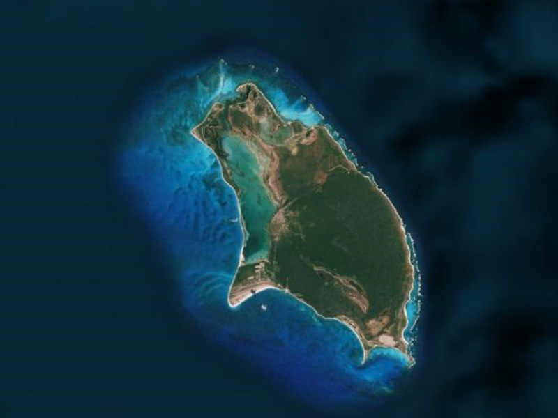
What began as a salvaging effort to rescue midden deposits being eroded away by the sea has evolved into an open-area excavation of a large settlement, The broader BHEP effort investigates human/environment interactions on the island of Barbuda and seeking to define the island’s place within the cultural and climatic realm of the Lesser Antilles and the circum-Atlantic region. Under the supervision of Dr. Sophia Perdikaris, excavations further explore the cultural features surrounding a possible early Saladoid plaza. The excavation was successful in finding further evidence of an early Saladoid settlement situated around a plaza. The finds included artifacts and ecofacts, numerous sunken features including postholes, cooking pits, and dumping pits.
Learn More
Image

California Heritage Climate Vulnerability Index
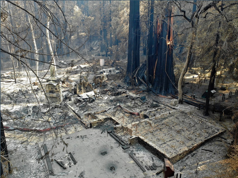
Climate change poses an increasing threat to cultural heritage at a global scale. Of concern, the loss of heritage can exacerbate social vulnerability as communities lose their grounding and material connection to the past. The scale of the climate impact to heritage can seem untenable such that even defining effective action may be overwhelming. The goal of this project is to evaluate and synthetize the existing vulnerability assessments, to identify the particular needs of California, and to develop a protocol to begin measuring the vulnerability of local heritage to climate impacts, with the goal of identifying a set of potential actions for mitigation. One of the long-term objectives of this initial effort is to empower communities to participate in solutions to steward their heritage into the future.This project is developed in collaboration with and with economic support from the California State Historic Preservation Office. Additional partners in this effort include Historic Environment Scotland, and the CVI – Climate Vulnerability Index project. Co-PI: Julianne Polanco, CA SHPO.
Learn More
Image

Paleolandscapes of the Younger Dryas (CA)

During the last glacial maximum, global sea level fell to more than 100 m below current levels, exposing a wide swath of the continental shelf. During the earliest occupation of North America (> 13,000 ybp) the exposed portions of the continental shelf would have been attractive sites for human settlement, encouraging exploitation of marine resources and travel along the coastal corridor. We aim to understand how changes in sea level impacted the marine environment off California, and how these coastal changes shaped late Pleistocene and early Holocene occupation of the coastal zone, including influence on early migration into North America.
Learn More
Image

Human Ecology of Puerto Rico Project

Human activities occur over landscapes and in intimate relation with natural resources. These relationships are dynamic, modifying and responding to change in social, environmental and climatic systems. The results of these interactions support the social ability to maintain traditions through the exploitation of plant, animal and geological / sedimentary resources distributed over landscapes and seascapes. In cultural contexts, decision-making in regards to environmental change influences social resilience and vulnerability levels to the processes of change. This project investigates these topics in the pre-European periods of the human occupations on the Archipelago of Puerto Rico (Borikén, Culebra, Bieke and other relevant spaces). The multiple individual researches under this project investigate these topics at multiple scales: slow-onset and rapid onset changes. Topics investigated include marine-based food exploitation (zooarchaeology, marine ecology), landscape change (geoarchaeology, sedimentology, microfossil analysis, underwater archaeology), sea level change (modeling, sediment analysis, remote sensing), trade and exchange (lithics and ceramic analyses), and others.
Learn More
Image

Climate Impacts and Cultural Heritage

Cultural Heritage is important to the climate change conversation because changing climate has the potential to impact our food and habitat security. Archeological research provides precedents of effective and ineffective response mechanisms of disaster management by past societies. Even though contemporary and past societies may not be directly comparable, the deep historical perspective used in archaeology can provide useful data for present and future scenarios of risk reduction measures. This research contributes to this discourse by developing materials that make the cases for valuing traditional knowledge as climate change technology and gathering examples of sustainable traditional practices that support climate action– including traditional building materials, construction, and design. This project also focuses on monitoring and recording the impacts that changing climate has on Puerto Rico’s tangible cultural heritage on the long term.
Learn More